This site will not be available after March 31, 2021. Learn more
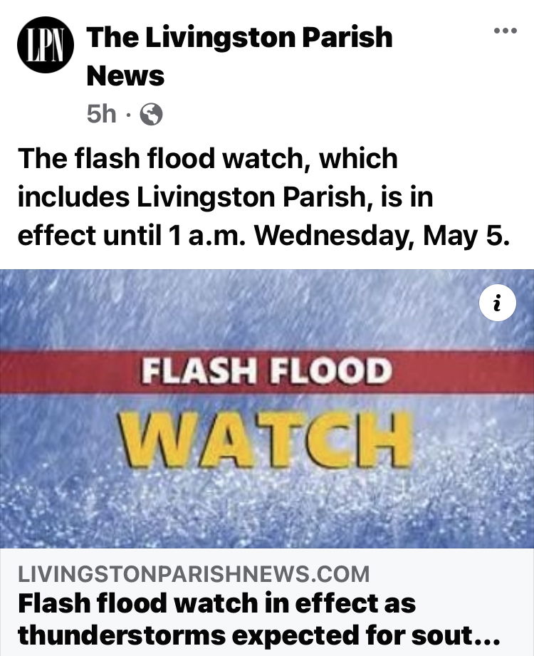
Flash Flood Watch in Southeastern Louisiana
Active for next 14 hours
ready.gov
Tips from ready.gov
Before:
- Build an emergency kit and make a family communications plan.
- Elevate the furnace, water heater and electric panel in your home if you live in an area that has a high flood risk.
- Consider installing "check valves" to prevent flood water from backing up into the drains of your home.
- If feasible, construct barriers to stop floodwater from entering the building and seal walls in basements with waterproofing compounds.
- More:
- What to do before a flood.
During:
- Be aware that flash flooding can occur. If there is any possibility of a flash flood, move immediately to higher ground. Do not wait for instructions to move.
- If you must prepare to evacuate, you should do the following:
- Turn off utilities at the main switches or valves if instructed to do so. Disconnect electrical appliances. Do not touch electrical equipment if you are wet or standing in water.
- Secure your home. If you have time, bring in outdoor furniture. Move essential items to an upper floor.
- Be aware of stream, drainage channels, canyons and other areas known to flood suddenly. Flash floods can occur in these areas with or without typical warnings such as rain clouds or heavy rain.
- If you have to leave your home, remember these evacuation tips:
- Do not walk through moving water. Six inches of moving water can make you fall. If you have to walk in water, walk where the water is not moving. Use a stick to check the firmness of the ground in front of you.
- Do not drive into flooded areas. If floodwaters rise around your car, abandon the car and move to higher ground if you can do so safely. You and the vehicle can be swept away quickly.
- Do not camp or park your vehicle along streams, rivers or creeks, particularly during threatening conditions.
- More:
- What to do during a flood.
noaa.gov
What is a Flash Flood Watch?
Warning
Watch
Statement
This product is issued by the local National Weather Service office (NWFO) for events that have the potential for short duration (usually less than 6 hours) intense flooding of counties, communities, streams or areas for which the occurrence is neither certain nor imminent. This watch indicates that flash flooding is a possibility in or close to the watch area. Those in the affected area are urged to be ready to take action if a Flash Flood Warning is issued or flooding is observed. A Flash Flood Watch may be issued for potential flooding from either dam breaks, ice jam breaks, or torrential downpours.


