Weather Threat In Georgia
Good evening. Here is the new update and changes for tomorrow night and Thursday.
Wednesday-Thursday:
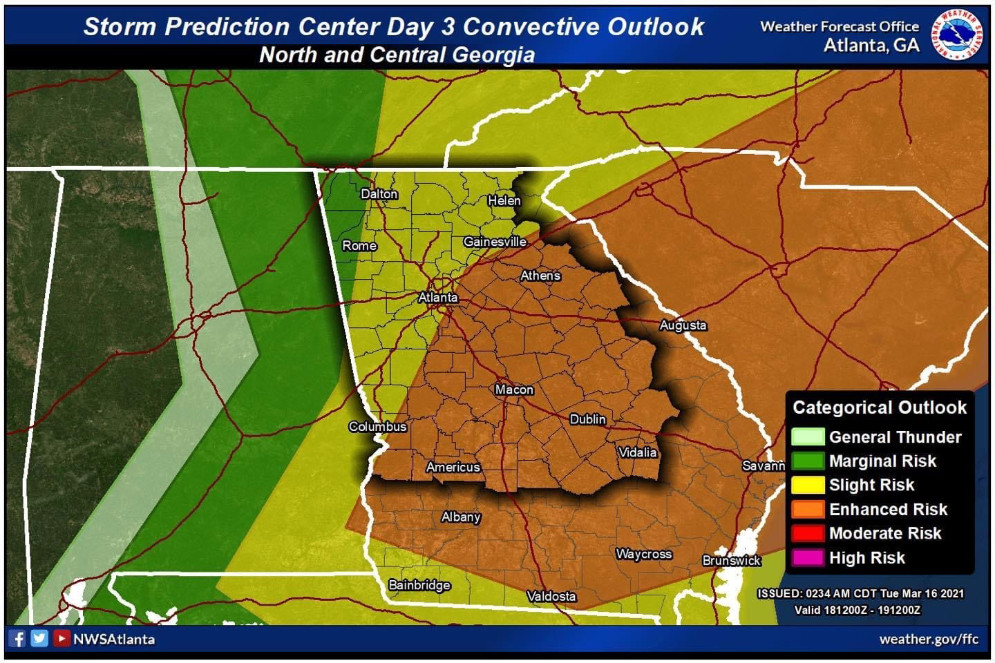
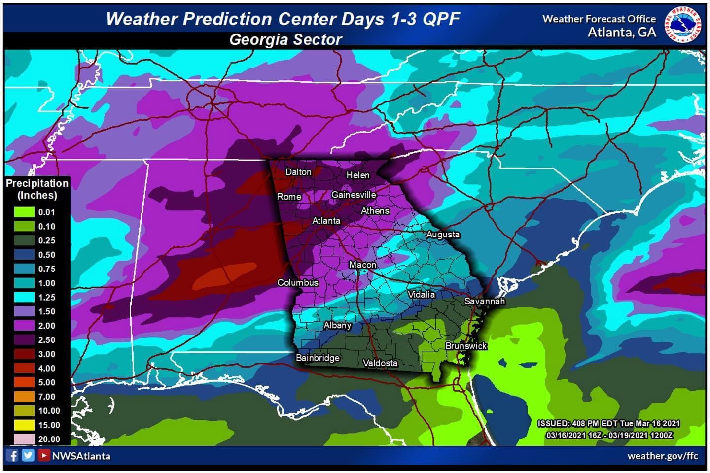
A greater potential for more widespread severe weather is still expected across north & central Georgia during this time period, especially late Wednesday afternoon through Thursday morning. Please see notes and graphics below.
* Isolated to scattered storms could develop in our area in the afternoon on Wednesday (mainly after 4 PM). Confidence is increasing in this development, but there is still considerable uncertainty around this development. If they develop, the strongest of these storms may be capable of damaging winds, hail, and even a tornado or two.
* A line or broken line of storms will move through the state late Wednesday night into the afternoon of Thursday. The greatest severe threat will be with these storms.
* An Enhanced Risk has been introduced for west Georgia Wednesday. A Slight Risk remains in effect for much of the area for Wednesday.
* The Enhanced Risk remains unchanged for Thursday. See graphics below.
* Primary threats will be:
* Damaging winds > 60 mph
* Tornadoes
* Heavy Rain
* Isolated hail up to 1"


View Facebook post
